Publications
 Partners


- Satellite data can be used by economists to measure variables such as GDP, population distribution and growth and poverty distribution at a very granular level.
- South African researcher Dr Clive Coetzee is experimenting with remote sensing and thinks the use cases are abundant.
- Information is detailed, relevant, reliable and continuously available unlike other data collection tools like surveys.
- For more stories, visit the Tech and Trends homepage.
Publicly available satellite data could be used to answer formerly data-dark questions ranging from ways to improve service delivery to tracking poachers. The granular-level applications open new avenues for researchers.
So says Stellenbosch University researcher and economist, Dr Clive Coetzee, who has been tinkering with the capabilities of satellite data over a number of years now.
Coetzee said he began looking into using satellite data as he was frustrated with the lack of granular-level economic data he could find when he was trying to answer research questions about specific areas of the country.
"I did quite a bit of work on the Richards Bay, Empangeni, Durban, Port Shepstone, Pietermaritzburg, Newcastle – those economies – and you keep on bumping into a lack of data," he said.
"Everyone just says: 'Well well well, there's nothing'."
He wondered whether there was an alternative to traditional data sources that could be used to answer some of the questions he ran into.
He looked into the idea and found a huge range of potential applications for satellite derived remote sensing data.

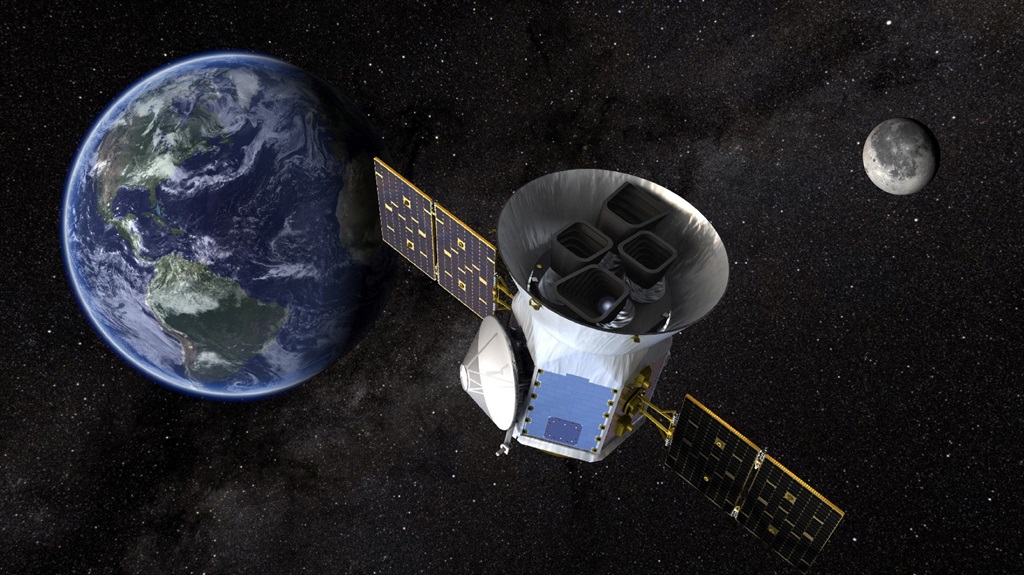
Thousands of satellites orbit the globe – some of them gather data by taking "pictures" of different sections of the Earth at regular time intervals. Some of this data can be accessed by the general public on Google Earth Explorer for no fee.
This provides a reservoir of data that can be used by researchers that often dates back to around 1970.
Coetzee pulls the data from the site, and writes code to turn the raw data from the satellites into something that can be used and understood. Data also needs to be run through a GIS system which is able to visually display the data.
When the data is visualised it can be used to provide specific insights about what has happened to an area over time.
Application
Coetzee said that there was a huge range of potential uses for satellite data.
One of the most interesting ways he has used the data was for a study into the spatial distribution of poverty.
"We actually started mapping poverty," he said.
While people may have an intuitive sense of where people living in poverty are, satellite data allowed the researchers to map exactly where people experiencing poverty were, in great detail. It also wasn’t a one-and-done kind of survey, as data could be accessed on a continuous basis.
Coetzee said:
"Because nobody knows – well you have an intuitive idea – but to scientifically go and say that specific area there, or within a three-kilometer space – you can pinpoint and say 'OK, that is where poverty is increasing', or 'this is where settlements are forming', or 'this is where there is a lack of water', or whatever the case may be."
He said this information would allow municipal authorities to target specific service delivery to the areas that they know need assistance.
Coetzee said he also did research that looked at the growth of the town of Saldanha when Saldanha Steel began operating in the area. He said you could watch the town grow rapidly.
He has also used nighttime light data to measure GDP growth in specific areas of the country.
Coetzee provided News24 with satellite images looking at light emissions in Cape Town from before the Covid-19 pandemic, during the pandemic and after the pandemic. He generated the images using satellite images.


He said that there were a huge range of potential use cases for remote sensing, including poaching detection, automated farming, land use classification, and climate monitoring.
But Coetzee is currently more interested in working out what the tool is capable of, rather than drawing conclusions using the data.
"That’s not what fascinates me at the moment, it’s what I can do that fascinates me."
Benefits and limitations
He said that remote sensing could be used in place of data obtained from traditional sources.
"Before this tool, you had to get people to survey, to walk around, to ask questions, to phone – whatever the case might be." These data collection methods were very expensive, he added, and could be replaced by these tools.
Surveys are also generally only relevant for a brief period after they have been completed whereas remote sensing can be updated continuously.
Coetzee added that the models also allow for variables to be assessed in multiple dimensions, as you can analyse data over both time and space. He said that traditionally this had been impossible.
He acknowledged that there were limitations to performing research in this way.
For one, there are error margins that can creep into data, especially when images are not available on a frequent enough time series.
He said that remote sensed suppliers would often provide more frequent data on request, but generally monthly data is what is available.
In some cases, this can be complicated.
For instance, when using nighttime light remote sensing data, satellites are not able to gather data when there is cloud cover over the area under question. An image will be taken after the cloud cover clears, but this could make time periods uneven.
There is also a compatibility issue with this category of data as different satellites were used prior to 2012 which were not capable of capturing light blooming and light above a certain intensity, which current satellites can capture.
He said that doing the research also required some technical coding skills.
"There is the satellite, the final image and then there are a whole lot of things that have to happen in the middle."
Coetzee said that while it is important for researchers to be aware of these limitations, he is confident that the research method is valuable, and is excited to see what the tool will be used for in the future.